Coast to Coast to Coast
How big Canada really is, why the highest mountain is not in the Rockies, where everybody lives, what the country makes and sells, and what makes each region its own. 24 short video lectures, free. No sign-up: scroll down and press play. Every map is a real map and every landscape a real photograph. Every lecture has a Find it on the map moment. Built from Statistics Canada, Natural Resources Canada and Environment Canada, and taught by Nora Beaulieu.
Module 1 · Canada at a glance

How big is Canada, really?
Total area, land versus fresh water, the coastline, the four extreme points, and why second-largest needs a footnote. Introduces the presenter, who is AI-generated, and the course, which is not an official IRCC or Ontario Ministry of Education resource.
Watch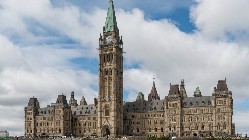
Ten provinces, three territories, fourteen capitals
The political map, every capital, Ottawa as the seat of government, and the difference between a province and a territory.
Watch
Six time zones, and where everybody actually lives
Why Newfoundland is half an hour ahead, who still changes their clocks in 2026, the fifteen-degree rule, and the two in three Canadians who live within a hundred kilometres of the US border.
WatchModule 2 · The land
Seven regions: the shape of the country in one map
The Shield and the two rings around it: the seven physiographic regions, what rock they are made of, and what that means for the people living on them.
Watch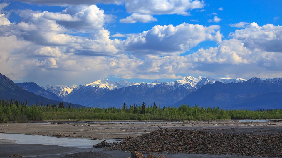
Mountains: why the highest one isn't in the Rockies
Logan, Robson, Waddington, Fairweather, the Torngats and the Innuitians; the high point of every province and territory; and how to tell height from contour lines.
WatchModule 3 · Water

The Great Lakes and the St. Lawrence
Five lakes, one wholly American, a 99-metre drop at Niagara, and the seaway that ties Duluth to the Atlantic.
Watch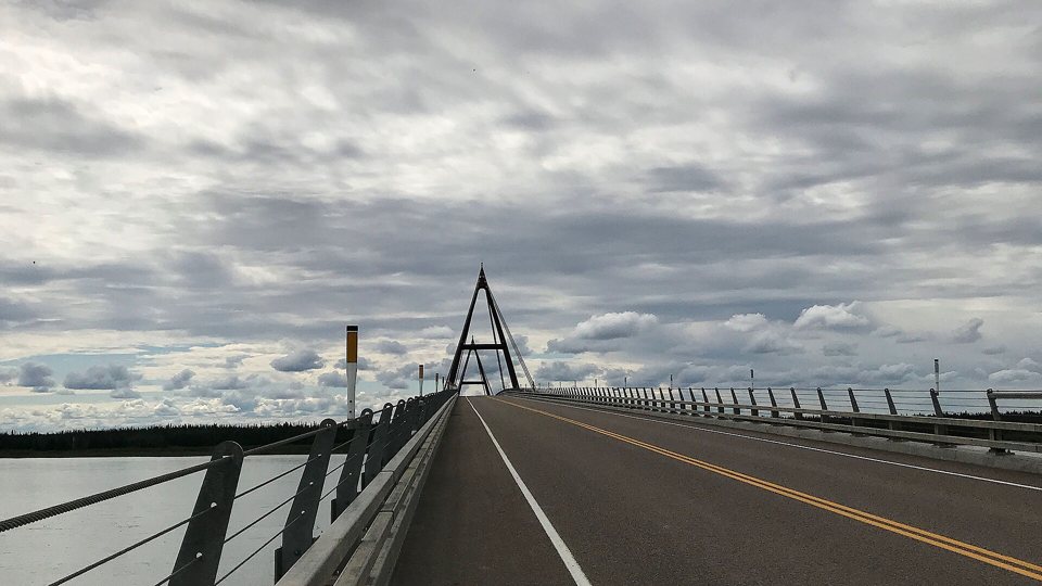
Rivers, watersheds and the water that flows north
Five ocean basins, the Mackenzie at 4,241 kilometres, the Milk River's odd journey to the Gulf of Mexico, and why about 60 per cent of the water goes where about 15 per cent of the people are. Map skill: watersheds and divides.
Watch
Three coasts, fifty-two thousand islands, and the fresh-water myth
The Atlantic, the Pacific and the Arctic; Baffin and the islands of the Arctic Archipelago; Hudson Bay as a sea; Fundy's 16-metre tide; and the correct sentence about Canada's share of the world's water. Map skill: latitude and longitude.
WatchModule 4 · Climate and weather
Why Vancouver isn't Winnipeg: reading Canada's climates
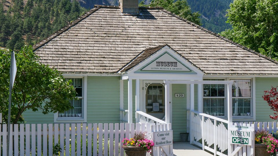
Ocean, mountains, latitude and the lakes; the 1991 to 2020 climate normals of Canada's big cities; and how to read a climate graph. Map skill: climate graphs.
Watch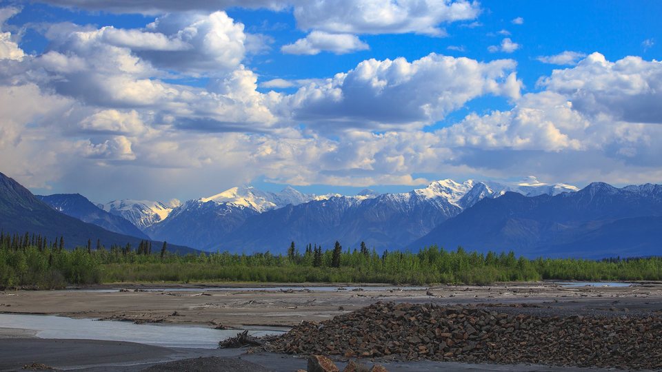
Records, permafrost and a warming country
Snag at about minus 63, Lytton at 49.6, permafrost under about forty per cent of the land, and warming at about double the global rate: what the official numbers say and what they don't. Map skill: reading zoned maps and bands.
Watch
Fire, flood, quake and storm: Canada's natural hazards
Where each hazard lives on the map and why: the 2023 fire season, the Red River, Cascadia and Hurricane Fiona. Disasters are described; there are no graphic images. Map skill: hazard maps.
WatchModule 5 · People
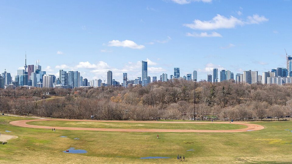
Forty-one million people, and where they are
The current estimate, dated; the 2021 Census; three in four in cities; the Quebec City to Windsor corridor; and the biggest metropolitan areas. Map skill: dot and proportional-symbol maps.
Watch
Newcomers, languages and the two official ones
Who is arriving and from where, where they settle, and what the census says about English, French and the other languages spoken at home. Map skill: reading a census profile and its choropleth.
Watch
Indigenous peoples, treaties and the map of the North
First Nations, Métis and Inuit by the numbers, the four regions of Inuit Nunangat, and the historic, Numbered and modern treaties, in the official wording of Statistics Canada and Crown-Indigenous Relations. Map skill: population pyramids.
WatchModule 6 · Resources and economy

Energy: what's under the ground and behind the dams
Oil, gas, hydro, nuclear and uranium, province by province, from the Canada Energy Regulator, plus the oil sands by Alberta's own numbers. Map skill: proportional-symbol and flow maps.
Watch
Fields, forests, mines, boats and factories: what Canada makes and sells
Potash, gold, nickel and diamonds; the forest; wheat and canola; lobster; Ontario's auto plants; and where the exports go, with the 2026 trade shift on a dated card. Map skill: choropleth classes and a flow map.
WatchModule 7 · Regions up close

Atlantic Canada: four provinces on the edge of the ocean
Newfoundland and Labrador, Prince Edward Island, Nova Scotia and New Brunswick: Appalachian hills, a drowned coast full of harbours, the Fundy tide, lobster and offshore oil. Map skill: coastal topographic reading.
Watch
Quebec: the Shield, the river and the hydro
From the St. Lawrence lowland to Nunavik: the second-largest jurisdiction, Montréal and Québec City, the Gaspé hills, James Bay power and the language map. Map skill: French toponymy on official maps.
Watch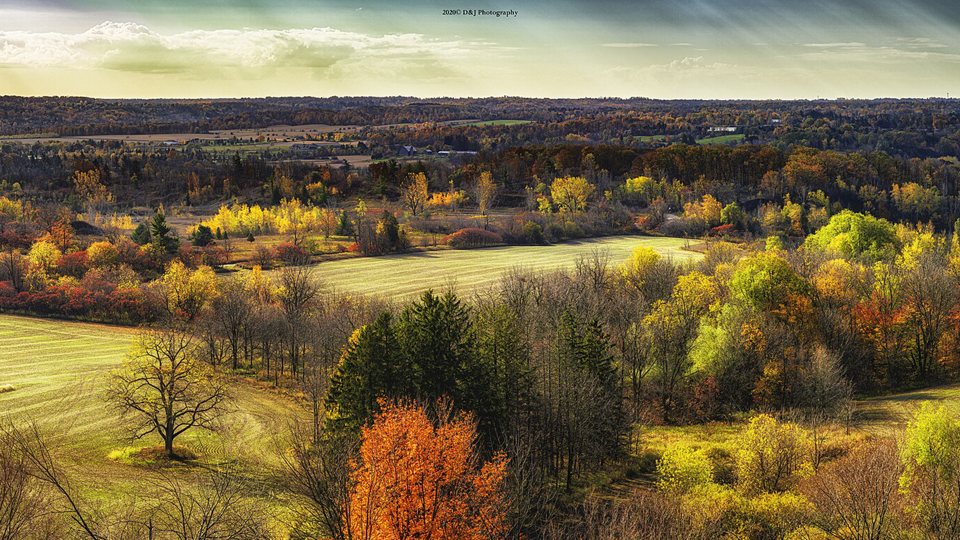
Ontario: the lowlands, the Shield and the far north
Half of Canada's people on its smallest landform region; the Niagara Escarpment and the Greenbelt; Sudbury's nickel and Timmins' gold; nuclear power and auto plants; and the Hudson Bay coast most Ontarians never see. Skill: NTS sheet numbers and a six-figure grid reference.
Watch
The Prairies: three steps, a grid and a dry triangle
Manitoba, Saskatchewan and Alberta: the Interior Plains rising in three steps, the Dominion Lands survey grid, the grassland that is mostly gone, grain, potash and oil, and the coldest and driest capitals. Skill: reading the survey grid on a satellite image.
Watch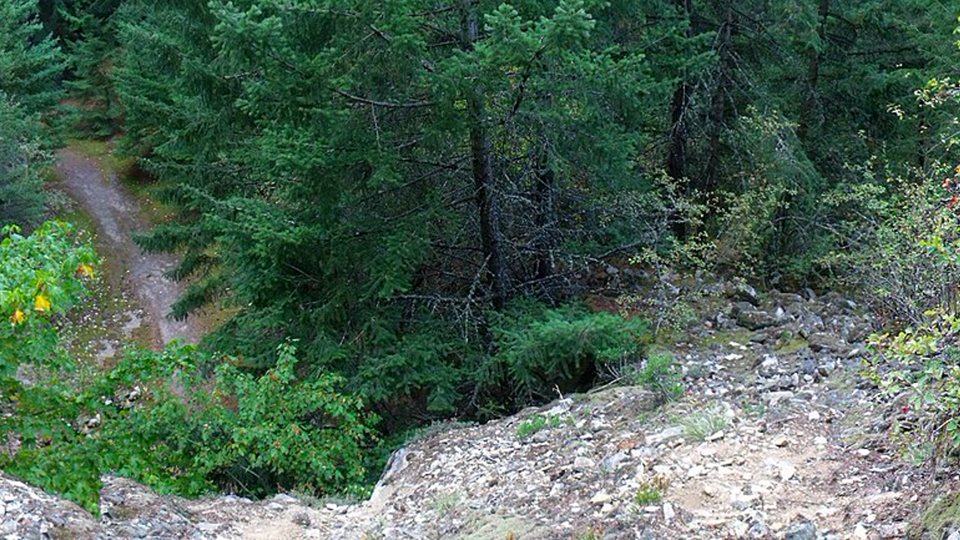
British Columbia: mountains, rain and the ring of fire
Three mountain belts, the rain shadow, the Fraser, Cascadia, the Pacific gateway and the hottest day ever measured in Canada. Skill: reading a west-to-east cross-section and the climate written on it.
Watch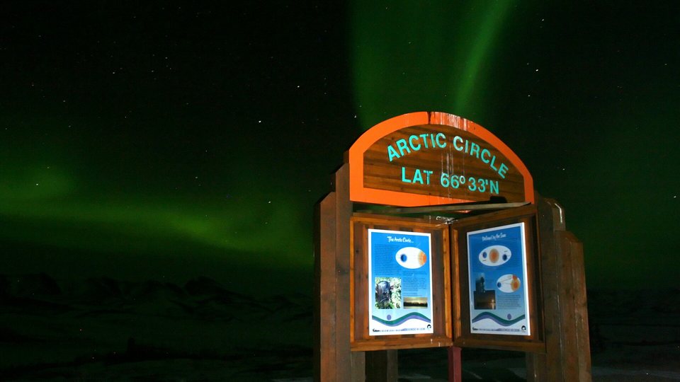
The North: two fifths of the land, a third of one per cent of the people
Yukon, the Northwest Territories and Nunavut: Logan and Kluane, the Mackenzie, the great lakes of the Northwest Territories, permafrost, diamonds, Inuit Nunangat in official words, and why the North looks so big on your phone. Skill: map projections.
WatchModule 8 · Canada in the world
Borders, the Arctic and Canada's place on the globe
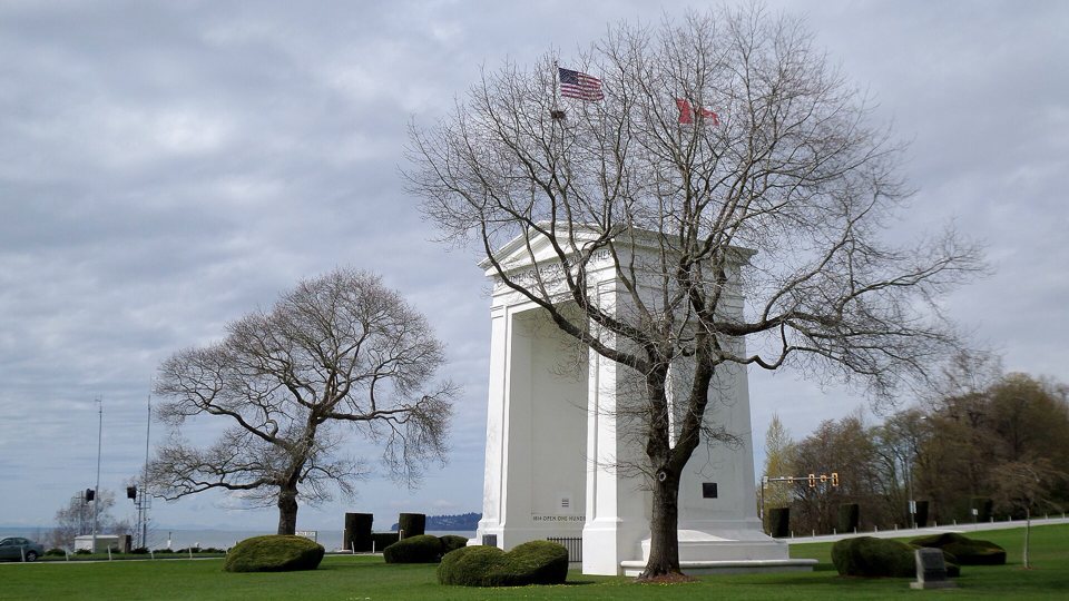
The 8,891-kilometre line with the United States, the newest land border, with the Kingdom of Denmark across Tartupaluk, the Northwest Passage in official words, Canada's memberships, the coastline that depends on its map scale, and the thirty-by-2030 promise. Skill: boundary and maritime-zone maps.
Watch
The next map of Canada, and a send-off
What is changing, with the date on every number: a population that dipped in 2026, an aging country, housing, a trade map turning away from one buyer, and the study guide's old figures; a round-up of the map skills; and the promise the course keeps, every map real, every place true.
Watch